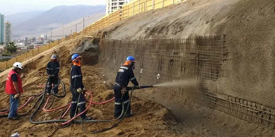
Thunder Bay sits at an elevation of roughly 199 meters above Lake Superior, but the real challenge isn't the height—it's what lies beneath. The city's topography is shaped by glacial Lake Agassiz and the exposed Canadian Shield, leaving a complex mix of glaciolacustrine clays, silts, and fractured bedrock. Over the past decade, our lab team has been called out to evaluate slope failures along the Kaministiquia River and in newer subdivisions near Mount McKay, where soil creep in the sensitive varved clays often surprises designers unfamiliar with the region. In our experience, a standard desktop review simply doesn't capture the pore pressure behavior of these layered deposits. We run a slope stability analysis that combines site-specific stratigraphy with shear strength data from our own triaxial lab, so the factor of safety you see on paper reflects what the slope will actually do during spring thaw. For larger cuts near the airport, it's common to pair our work with a deep excavation monitoring plan to track movements as soon as the shovels start.
In Thunder Bay, the difference between a stable cut and a springtime slide often comes down to one thing: whether the varved clay layer was sampled and tested at residual strength.
Process and scope
Most of our fieldwork in Thunder Bay starts with a compact CPT rig or a track-mounted drill, depending on whether we're probing the soft clays near the waterfront or trying to get through the bouldery till up toward the escarpment. The real work, though, happens back at the bench. We run consolidated-undrained triaxial tests on thin-walled Shelby tube samples taken from the critical slip surface depth—often that means sampling the grey varved clay layer that sits right above the bedrock contact. We've learned that the peak friction angle in these clays can drop fast once you account for the slickensided surfaces left by glacial shearing. The analysis itself is iterative: we build the slope geometry, plug in the pore pressure regime from piezometer readings, and run limit equilibrium models using Spencer's method to check both circular and block failure surfaces. Because the Precambrian bedrock here is rarely planar, we often need to model a wedge sliding along a tilted joint set, which is why we never rely on a single software assumption without a site walkover.
Site-specific factors
One thing we've seen repeatedly in Thunder Bay is that contractors treat the weathered shale and basalt near the surface as competent rock, only to hit water-charged gouge zones that daylight right into a cut face. When that happens, the bench stability goes from manageable to precarious in a matter of hours. The biggest risk isn't a deep-seated circular failure—it's a shallow translational slide where a thin clay seam, softened by snowmelt infiltration, acts like a lubricant between the till and the bedrock. We've also noticed that some older reports from the area used fully-softened strength parameters without accounting for the residual condition, which gives a factor of safety that looks fine on paper but doesn't survive a heavy rainfall event. Our approach is to model both the drained short-term condition right after excavation and the long-term steady-state seepage, especially for permanent slopes along Highway 61 or near the grain elevators where a failure would interrupt operations for weeks.
Reference standards
NBCC 2020 (Division B, Part 4, seismic and geotechnical provisions), CSA A23.3-14 (concrete structures, referenced for retaining/anchored walls), ASTM D4767-11 (consolidated-undrained triaxial compression test on cohesive soils), ASTM D1586 (standard penetration test, used for preliminary shear strength correlation in granular layers)
Common questions
What's the typical cost range for a slope stability analysis in Thunder Bay?
For a residential or small commercial slope, the analysis typically runs between CA$1,950 and CA$6,390, depending on whether we need to mobilize a drill rig for sampling and how many cross sections require modeling. Larger infrastructure projects with multiple piezometers and seismic analysis will fall at the upper end or beyond.
Which failure modes do you check for in Thunder Bay's soils?
We check both rotational failures through the clay mass and translational block slides along the bedrock contact. In the shale and basalt units north of the city, we also look at wedge failures controlled by joint orientation, using stereonet analysis to identify kinematically feasible planes.
How does the NBCC seismic requirement affect the analysis?
The NBCC 2020 gives us a site-specific peak ground acceleration for Thunder Bay, which we convert to a pseudo-static horizontal coefficient for the limit equilibrium model. For sensitive clay slopes—common near the floodplain—we also run a post-earthquake strength reduction to check if the factor of safety drops below 1.0.
How long does it take to get the final report?
If we already have the lab data in house, we can deliver the analysis and report within five to seven business days. When we need to schedule a site visit, collect samples, and complete triaxial testing, the timeline extends to roughly three weeks from authorization.
What makes the varved clays here different from other regions?
Thunder Bay's varved clays were deposited in glacial Lake Agassiz and show alternating silt and clay layers that create strong anisotropy. The clay layers can be normally consolidated or lightly overconsolidated, and they're prone to progressive failure along slickensided surfaces, which means we have to use residual strength parameters, not just peak values.