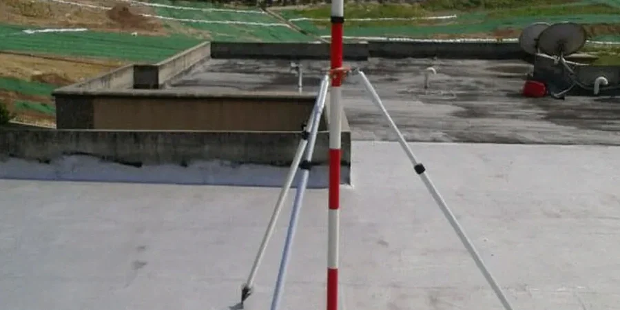
A total station sits on a tripod anchored in the morning fog rolling off Lake Superior, its laser locked onto prism targets mounted on a steel sheet pile wall twenty meters below street level. The instrument records a reading every fifteen minutes, tracking whether the shoring system near the reconstructed Port Arthur waterfront has moved more than the design deflection limit. This is the daily pulse of geotechnical excavation monitoring in Thunder Bay—a city where excavation work must contend with the layered stratigraphy left behind by glacial Lake Agassiz, deposits that range from stiff silts to sensitive varved clays that can lose strength dramatically when disturbed. Our field crews combine automated optical systems with in-place inclinometer arrays and vibrating wire piezometers to deliver a continuous picture of ground behavior throughout the construction sequence, because when you are excavating adjacent to heritage brick buildings in the downtown core or working within the influence zone of the Kaministiquia River’s fluctuating water table, the cost of a monitoring gap far exceeds the investment in proper instrumentation. We often recommend pairing long-term monitoring programs with a detailed CPT investigation to establish the pre-construction stratigraphic baseline against which all subsequent movements are measured.
Monitoring a deep excavation without understanding the glacial lake stratigraphy of the Thunder Bay basin is like navigating the Sleeping Giant in fog without a compass—you may feel stable until the moment you are not.
Process and scope
In Thunder Bay, a city built on a paleolakebed with pockets of compressible organic silts that the original Prospector’s maps never identified, we frequently encounter sites where the soil profile changes completely within a single city block. This variability means that instrument selection and placement cannot be generic—inclinometer casings must extend well below the theoretical failure plane into competent till or bedrock, and standpipe piezometers installed in the upper varved clay layers often show hydraulic connections to nearby stormwater infrastructure that nobody anticipated in the desk study. The monitoring trigger levels we establish are always site-specific, tied to the actual stiffness of the shoring system and the vulnerability of adjacent structures, not generic percentages pulled from a manual. Every data point gets cross-referenced with construction activity logs: a spike in lateral deformation on a Tuesday afternoon is meaningless unless you also know that a trench was being cut for a new sewer tie-in three meters away at precisely that moment. This forensic approach to interpretation—connecting measured displacement to its root cause—allows the project team to make informed decisions before small anomalies become contractual disputes or safety incidents.
Reference standards
CSA A23.3: Design of Concrete Structures (shoring and retaining wall references), Ontario Regulation 213/91 (Construction Projects, Sections 222–242 on excavations), ASTM D6230: Standard Practice for Monitoring Well or Piezometer Installation, ASTM D7299: Standard Practice for Verifying Inclinometer Data, NBCC 2020 Part 4: Structural Design (geotechnical considerations)
Common questions
What is the typical cost range for an excavation monitoring program in Thunder Bay?
For a standard instrumentation package—including an automated total station with 15–20 prisms, three inclinometer casings, and four vibrating wire piezometers—the monitoring component typically falls between CA$1,130 and CA$3,530 per month depending on the data collection frequency and reporting requirements. Complex sites with real-time web dashboards and daily interpretive reports are at the upper end of that range. We provide a fixed-price proposal after reviewing the shoring design drawings and conducting a site walk.
How deep does an excavation need to be before monitoring becomes mandatory in Thunder Bay?
Ontario Regulation 213/91 requires a professional engineer to inspect and approve excavations deeper than 1.2 meters where workers will enter, but monitoring with instrumentation is triggered by the risk assessment rather than a fixed depth. An excavation of 3 meters next to an occupied building on Simpson Street will almost always require inclinometers and settlement markers, while a 6-meter cut in an open field north of the Trans-Canada Highway may need only periodic visual inspection. The key factor is the predicted settlement trough and its interaction with adjacent infrastructure.
What instruments do you recommend for monitoring an excavation in Thunder Bay’s varved clay?
In the varved clay deposits common across the former Lake Agassiz lakebed, the two most critical instruments are in-place inclinometers and vibrating wire piezometers. The inclinometers track lateral displacement of the shoring and detect the onset of deep-seated creep, while the piezometers provide early warning of pore pressure buildup that can reduce effective stress and trigger a base failure. For sites within 50 meters of the Kaministiquia River or any of the city’s urban creeks, we also install automated water level loggers to correlate river stage with groundwater response.